Tesla admits FSD needs in-house maps to fix 55% speed limit errors
The automaker is developing a proprietary mapping system to address persistent navigation flaws that have plagued its Full Self-Driving software for years.
By Chinedu Okafor ·
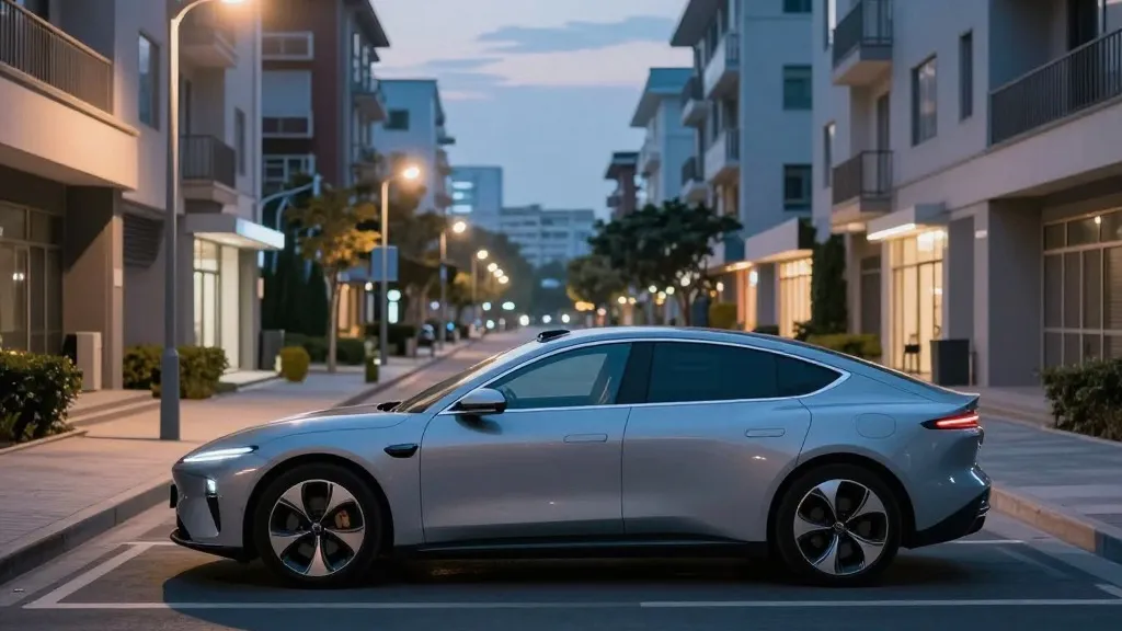
Drivers using Tesla’s Full Self-Driving system may soon experience fewer navigation errors as the company moves to create its own mapping data. This internal shift aims to correct frequent mistakes in reading speed limits, handling parking, and selecting routes. These issues have been among the most common complaints from users who rely on the technology for daily commutes.
Tesla’s Vice President of AI, Ashok Elluswamy, confirmed the development during the company’s third-quarter 2026 earnings call. He stated that the company should not depend on external providers for critical driving data. The new system will use an AI-based architecture that learns from the collective data of Tesla’s entire vehicle fleet. This approach will also allow the software to adapt to individual driver preferences and respond to voice commands.
The rollout of this new mapping layer is scheduled to begin with the start and end phases of trips in version 15 of the software. Over the coming months, the system is expected to take over broader navigation, parking, and destination handling functions. This marks a significant evolution in how the vehicle interacts with the physical road environment.
This strategy represents a notable departure from previous company rhetoric. For years, the leadership team argued that self-driving systems relying on detailed maps were fragile and inefficient. In 2019, the CEO described high-precision lane maps as a major error that made autonomous systems brittle. That stance positioned the company against competitors who used lidar and detailed cartography to navigate complex urban environments.
However, recent evidence suggests that vision-only systems still struggle with basic road information. A Belgian road safety group found that the system exceeded speed limits in 55% of 30 km/h zones tested in Brussels. The average speed recorded was 44 km/h, often because the car’s display incorrectly showed a 50 km/h limit. In the United States, the National Highway Traffic Safety Administration is considering an investigation into similar speeding incidents in school zones involving roughly 1,000 vehicles.
The new approach brings Tesla’s methodology closer to that of its competitors. While the company does not use lidar, its fleet now serves a similar purpose to the sensor-equipped vehicles used by other autonomous taxi services. Both strategies involve using a large number of cars to collect data and build a detailed understanding of specific geographic areas. Tesla is currently operating its robotaxi service within small, geofenced zones, a model that relies heavily on accurate local map data.
Although the new maps are not the high-precision types previously criticized, they address specific environmental understanding gaps. The system will learn from millions of vehicles, potentially creating a robust dataset for navigation. This development suggests that a hybrid approach, combining camera-based vision with fleet-generated map data, may be necessary to achieve reliable autonomous driving performance.
The timing of this announcement aligns with the company’s plans for unsupervised driving in consumer vehicles, which are targeted for the second quarter of 2027. By building its own maps, Tesla aims to reduce dependency on third-party data and improve the accuracy of its navigation features. This move acknowledges the practical necessity of detailed map data, a concept the company previously dismissed as a crutch for less advanced systems.
Source: Electrek